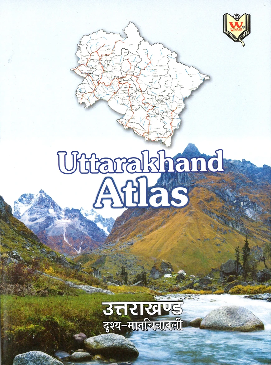
Winsar Uttarakhand Atlas
₹170 Original price was: ₹170.₹150Current price is: ₹150.
Uttarakhand Atlas is a one-of-a-kind resource for those preparing for Uttarakhand state exams. Its combination of geographical analysis and visual maps provides a unique learning experience, making it easier for aspirants to understand the state’s physical, cultural, and economic geography. Whether for revising concepts or exploring the state’s landscape in detail, this atlas is an essential tool for success in the exams.
In stock
Winsar Uttarakhand Atlas
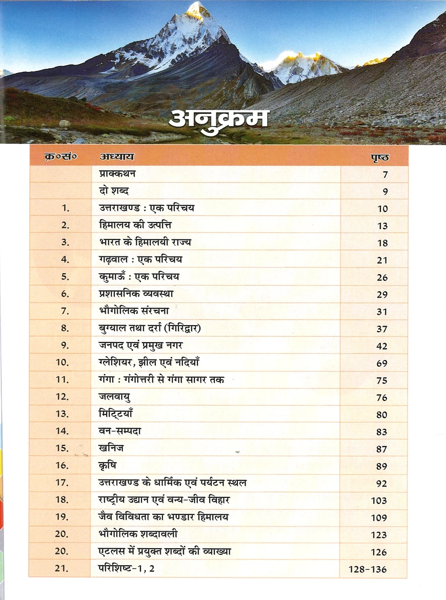
Winsar Uttarakhand Atlas, written by Kalyan Singh Rawat ‘Maiety’ and Dr. Indu Bharti Ghildiyal, published by Winsar Publication, Dehradun, is an invaluable resource for aspirants preparing for Uttarakhand state exams. This book provides a comprehensive geographical analysis of Uttarakhand’s physical, cultural, and economic aspects, presented in a visually appealing atlas format with detailed maps. It serves as a unique tool for understanding the state’s diverse geography through a combination of informative text and illustrative maps.
Key Features of the Uttarakhand Atlas:
- Geographical Analysis in Atlas Format:
- The Uttarakhand Atlas offers a visually enriched geographical analysis of the state’s physical features, including mountains, rivers, forests, and climate zones. The atlas format allows aspirants to visualize and understand the spatial distribution of these natural features, enhancing their comprehension.
- Cultural Geography with Maps:
- The book provides detailed cultural geography of Uttarakhand, highlighting the traditions, population distribution, languages, and cultural practices across different regions. The inclusion of maps related to cultural patterns makes it easier for aspirants to grasp how geography influences cultural diversity within the state.
- Economic Scenario Mapped Out:
- The economic geography of Uttarakhand is also analyzed, with maps depicting the state’s agriculture, industries, tourism hubs, and economic zones. This visual approach helps aspirants understand the geographical factors driving the economic development of different regions, providing insights into the interconnection between geography and economy.
- Relative Maps for Easy Understanding:
- The use of relative maps in the Uttarakhand Atlas enhances clarity by showing spatial relationships between different geographical features and regions. These maps make complex geographical concepts simpler to understand, ensuring that students can retain key information with ease.
Why Choose the Uttarakhand Atlas?
The Uttarakhand Atlas by Kalyan Singh Rawat ‘Maiety’ and Dr. Indu Bharti Ghildiyal is a one-of-a-kind resource for those preparing for Uttarakhand state exams. Its combination of geographical analysis and visual maps provides a unique learning experience, making it easier for aspirants to understand the state’s physical, cultural, and economic geography. Whether for revising concepts or exploring the state’s landscape in detail, this atlas is an essential tool for success in the exams.
| Weight | 275 g |
|---|---|
| Publication | Winsar Publication |
| Language | Hindi |
| Writer | Kalyan Singh Rawat 'Maiety' and Dr. Indu Bharti Ghildiyal |
| Edition | 2021 |
| ISBN | 9788186844977 |







Reviews
There are no reviews yet.